 India
India History: Antique Maps
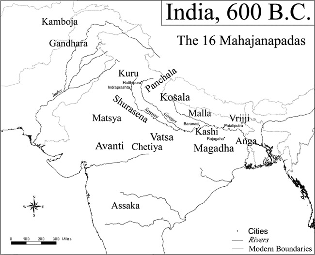
- Title: 600 BCE Map of India
- Description: 1771
- Publisher: Kmusser
- Download: High-Res pdf
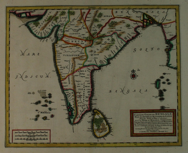
- Title: 1714 Map of Bengale
- Description: Southern India and the Bay of Bengal
- Publisher: Pieter Vander Aa
- Download: High-Res pdf
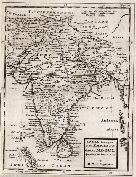
- Title: 1721 Map of India
- Description: India, this attractive engraving has a wonderfully strong impression. Silk Road trade route mapped in the North, from Pakistan to Tibet.
- Publisher: Herman Moll
- Download: High-Res pdf
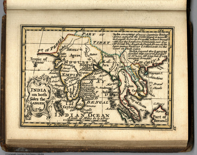
- Title: 1758 Map of India on Both Sides of Ganges
- Description: This page includes Outline color map of the world and text. First edition. The \"Historical Extracts\" are short bits of text printed on the maps giving relevant geographical information. A revised edition was published in London in 1792. In 1759, another edition was published adding separate geographical descriptions and correcting some of the maps (see our copy). The Philadelphia 1798 edition by Mathew Carey incorporates the 1759 edition text word for word (excepting the maps of United States which Carey omits in favor of his pocket atlas of the U.S.). Gibson and Bowen made the four sheet map of North America (Stevens 49), and Gibson made the four sheet map of America (Stevens 3).
- Publisher: J. Newberry
- Download: High-Res pdf
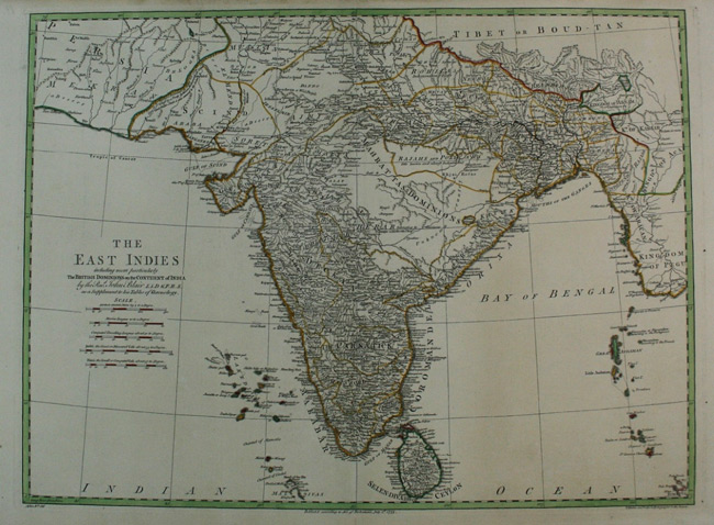
- Title: 1773 Map of The East Indies
- Description: British Dominion in India
- Publisher: John Blair
- Download: High-Res pdf
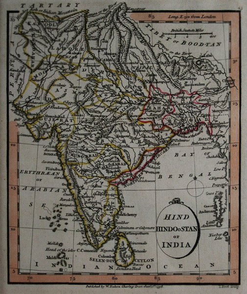
- Title: 1798 Map of Hindoostan
- Description: 1764
- Publisher: William Faden
- Download: High-Res pdf
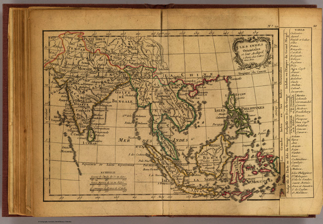
- Title: 1800 Map of Les Indes Orientales
- Description: Engraved map. Outline hand coloring. Relief shown pictorially. Prime meridian: Ferro.
- Publisher: C.F. Delamarche
- Download: High-Res pdf
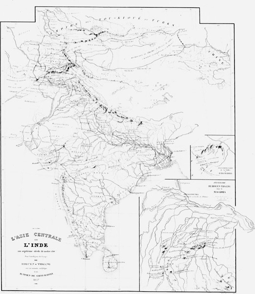
- Title: 1857 Map of Memoires sur les contrees occidentales, tome 1
- Description: Appartient a l’ensemble documentaire Sinica1
- Publisher: Impr. Imperiale
- Download: High-Res pdf
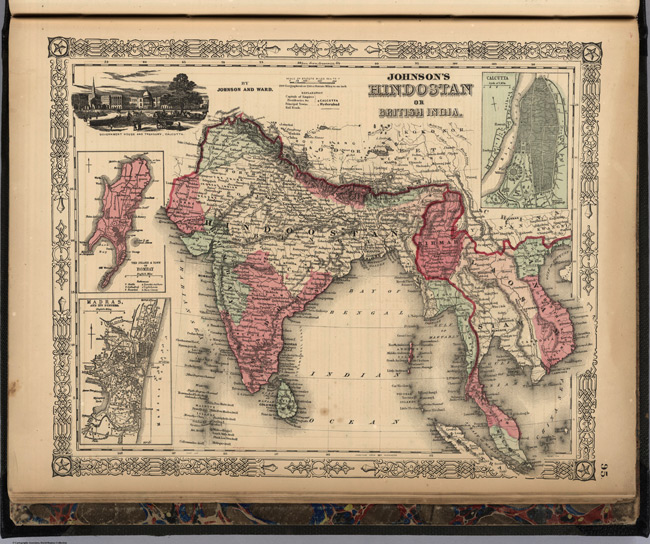
- Title: 1864 Map of Hindostan or British India
- Description: Full color map. With heavy outline color. Shows capital, provinces, towns, and railroads. Shows Vignette of the Government House and Treasury in Calcutta. Relief shown by hachures. Prime meridians are Greenwich and Washington D.C.
- Publisher: Johnson and Ward
- Download: High-Res pdf
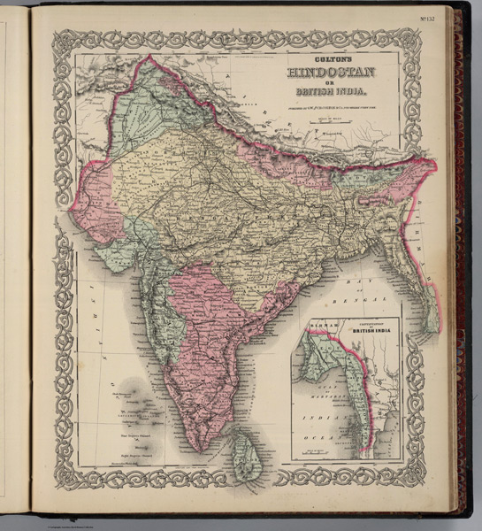
- Title: 1886 Map of India
- Description: Prime meridians are Greenwich and Washington D. C. Relief shown by hachures. (inset) Continuation of British India.
- Publisher: G. W & C. B. Colton & Co.
- Download: High-Res pdf
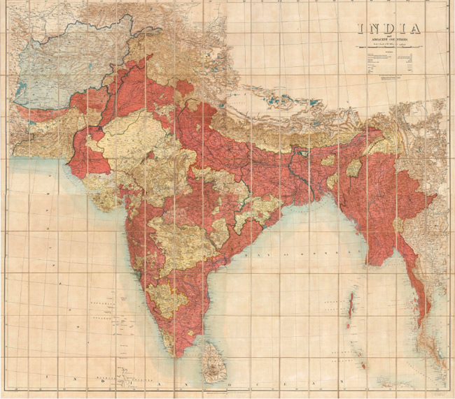
- Title: 1908 Map of India
- Description: This folding wall map of the Indian Peninsula is on four sheets and was issued by the Survey of India when it was supervised by Col. S.G.Burrard, one of the major figures in the exploration of the region, especially the Himalayas. The size, colouring and flamboyance of this piece, makes this one of the most spectacular maps of the sub-continent we have ever offered
- Publisher: S.G. Burrard
- Download: High-Res pdf
Copyright © 1993—2024 World Trade Press. All rights reserved.