 India
India Geography: Geography
Location
Southern Asia, bordering the Arabian Sea and the Bay of Bengal, between Burma and Pakistan
Geographic Coordinates
20 00 N, 77 00 E
Map References
Asia
Area
Total: 3,287,263 sq km
Land: 2,973,193 sq km
Water: 314,070 sq km
Country comparison to the world: 8
Area Comparative: Slightly more than one-third the size of the US
Land boundaries
Total: 13,888 km
Border countries (6): Bangladesh 4142 km, Bhutan 659 km, Burma 1468 km, China 2659 km, Nepal 1770 km, Pakistan 3190 km
Coastline: 7,000 km
Maritime claims
Territorial sea: 12 nm
Exclusive economic zone: 200 nm
Contiguous zone: 24 nm
Continental shelf: 200 nm or to the edge of the continental margin
Climate
Varies from tropical monsoon in south to temperate in north
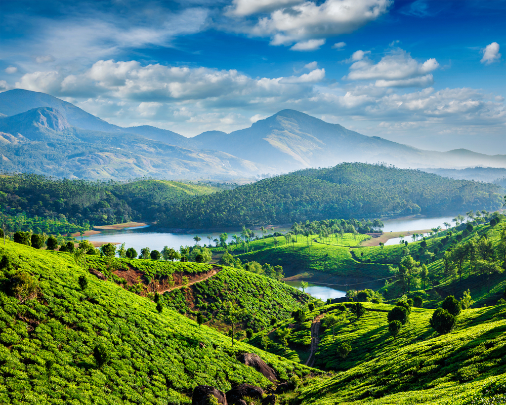
Terrain
Upland plain (Deccan Plateau) in south, flat to rolling plain along the Ganges, deserts in west, Himalayas in north
Elevation
Mean elevation: 160 m
Lowest point: Indian Ocean 0 m
Highest point: Kanchenjunga 8,586 m
Natural Resources
Coal (fourth-largest reserves in the world), antimony, iron ore, manganese, mica, bauxite, rare earth elements, titanium ore, chromite, natural gas, diamonds, petroleum, limestone, arable land
Land Use
Agricultural land: 60.5% (2011 est.)
Arable land: 52.8% (2011 est.)
Permanent crops: 4.2% (2011 est.)
Permanent pasture: 3.5% (2011 est.)
Forest: 23.1% (2011 est.)
Other: 16.4% (2011 est.)
Irrigated land: 667,000 sq km (2012)
Population Distribution
With the notable exception of the deserts in the northwest, including the Thar Desert, and the mountain fringe in the north, a very high population density exists throughout most of the country; the core of the population is in the north along the banks of the Ganges, with other river valleys and southern coastal areas also having large population concentrations
Natural Hazards
Droughts; flash floods, as well as widespread and destructive flooding from monsoonal rains; severe thunderstorms; earthquakes
Volcanism: Barren Island (354 m) in the Andaman Sea has been active in recent years
Current Environmental Issues
Deforestation; soil erosion; overgrazing; desertification; air pollution from industrial effluents and vehicle emissions; water pollution from raw sewage and runoff of agricultural pesticides; tap water is not potable throughout the country; huge and growing population is overstraining natural resources; preservation and quality of forests; biodiversity loss
Notes
- Dominates South Asian subcontinent;
- Near important Indian Ocean trade routes;
- Kanchenjunga, third tallest mountain in the world, lies on the border with Nepal
Article written for World Trade Press by CIA Factbook, Current as of 5 May, 2021.
Copyright © 1993—2024 World Trade Press. All rights reserved.